
Manifold Valley Hike
Manifold Valley Hike
The majestic Manifold Valley is close to my childhood home and a location I have been to many times. Usually, time enjoyed here is spent walking the many different trails in the area, cycling along the valley's entire length from Hulme End to Wetton, and previously completing a geographic study of the river for my A Levels which naturally weaves its way through the idyllic valley below.
This exhilarating and inviting natural Limestone landscape withholds many exciting opportunities for outdoorsy folk to wander and explore. Enjoy some beautiful countryside and surroundings, get outside and enjoy some welcome exercise.
During my most recent visit to the area, I managed to walk an outstanding route with a good friend, who always seems to come up with some great walks, including a range of varied and exciting meandering paths that I have previously not ventured along.
That said, after parking the car in the tiny hamlet of Calton, we set off into the early morning murky landscape, thick with low clouds and mist, and then out on the undulating trail. After walking through the village for a short while, we ventured out of the village boundary along the winding, narrow country lanes and soon across the broad open fields and steep-sided valley that eventually leads into Manifold.
This impressive route was a looped trail, of around 14km in total distance, with a start and finish in Calton. Of course, you can easily shorten or lengthen the route accordingly, but on this particular day, it was 14km. The walk incorporated some interesting new paths, eventually leading to the popular walking route at the bottom of the valley floor. This walking trail is generally used by walkers, day trippers and cyclists who enjoy coming here for a day out to marvel at this beautiful part of the Peak District, also known as the White Peak region. It allowed us to revel in our familiar surroundings and tackle the steep valley sides surrounding this magnificent place.

The hike into the Manifold Valley is impressive with large swathes of open ground.
Start Of The Hike
As soon as we started, the walk took us uphill and down dale into some sheltered and enticing spots, down paths that had been well-trodden and locations that seemed to have not seen walkers footsteps for several years. This part of the route is like a fairy tale path with overgrown hedgerows on each side and an approach that weaves off into the distance.
Once this pretty walking section is completed, you proceed through a small wooden gate and then out onto the well-paved path that lines the bottom of the Manifold Valley. This particular path is a good one, and it often supports road vehicles for a short section; it can also be used by cyclists and walkers who frequent the area. It is located right next to the river Manifold itself, and it meanders naturally with the river's flow.
The start of the walk is in the small village of Calton, which can be located on the map above. It is easy to reach either via the A52 or the A523, which are the most accessible routes from more built areas close by.
It is an interesting river with significant geographical features. During the summer months, in the short section after Wetton Tea rooms, it disappears through a significant swallow hole, goes underground and carves out a series of underground caves/caverns that are an integral part of this region and landscape. Further down the valley, it emerges again to continue as part of the river's normal flow. The caving network is said to be very impressive. I wouldn't say I like caving as im not entirely comfortable with confined spaces. I did go on a school excursion once and pretty much bottled it. I covered my face in mud and told the guide I had already been down. Thankfully, it worked, and that would be my first and last visit underground.
During the autumn and winter months, and at the time of this walk, the path is lined with an abundance of vegetation, with trees and bushes prevalent along the steep valley sides. But I prefer the months of Spring and Summer when the smells and eye-catching greenery are at their best. It resembles a unique and diverse green space that is precious and should be protected for future generations to enjoy.

One of the country lanes leading from the village.

The church in the small village of Calton.
Plenty To See And Enjoy
Along this impressive route are some excellent attractions like the pretty limestone buildings of the Wetton Mill Tearooms, a pretty old mill where you can stop for something to eat and drink. It is a popular destination in the summer as families and walkers come here to eat, drink, and enjoy sitting beside the river or paddle in the river if you wish. I loved coming here as a child and messing about in the water.
Another popular stopping point is the natural splendour of Thors Cave, which rises high above the valley and stands dominant within its surroundings. The cave entrance, a symmetrical arch 7.5 metres wide and 10 metres high, is prominently visible from the valley bottom, around 80 metres (260 feet) below.
To reach it, you will need to either walk up the steps from the valley floor or approach it from the village of Wetton, which is situated high on top of the valley. If you come from Wetton village, park your car in one of the designated car parks in the village. It is once again a tiny village; in the summer months, it can become crowded with visitors, and people still need to live here. It is a great place to visit, as not only are the views quite magnificent, but it is like stepping back in time as you explore this magnificent Limestone cave, which was occupied as far back as the Palaeolithic period and then in the Iron age and Roman times.
At this point in our walk, with Thor's cave luring high above us, we decided to turn left and walk up the steep side of the valley and out onto the pastures above. The path weaves through a few woodland coppices before you enter the lush, green farm fields. From here, the views are pretty impressive as you can not only look up and down the valley in both directions, but you can also see the magnificence of Thor's cave on the opposite side of the valley.
The footpath continues to weave through the farmstead, outlying buildings, and then eventually on the track leading to the farm. On our route out, we then pass the church at Grindon and into the small village, which is yet another great little village to wander and explore.

Peak District cottage found on the route.

Fields and views all around. Even despite the mist and low cloud.
The Village of Grindon
Grindon is a small rural community in the Peak District. Grindon is a delightful moorland hill village strategically situated above the most interesting and exciting section of the Manifold Valley close to its junction with the Hamps and standing at 1,000 feet above sea level. The village has a long history and was mentioned in the Domesday Book as 'Grendon', meaning green hill. It was a staging post along the packhorse route from Ecton Hill, once the most productive copper mine in the country.
Once out of the village, the delightful walk travels on a fantastic section that was once part of the historical packhorse route, a path that dates back in history and has pretty much remained untouched for many years.
It is a muddy section with a unique character and an assemblage of exceptional views.
Once at the top of the track, you can indulge yourself in the eye-catching 360-degree views and look back down the path to see it weave into the distance and see how far you have ventured. Down the other side, the track then continues passed yet another farm, and the path then brings you down a short route that eventually leads you back into the Manifold Valley, but a little further down the track from where you initially entered it.
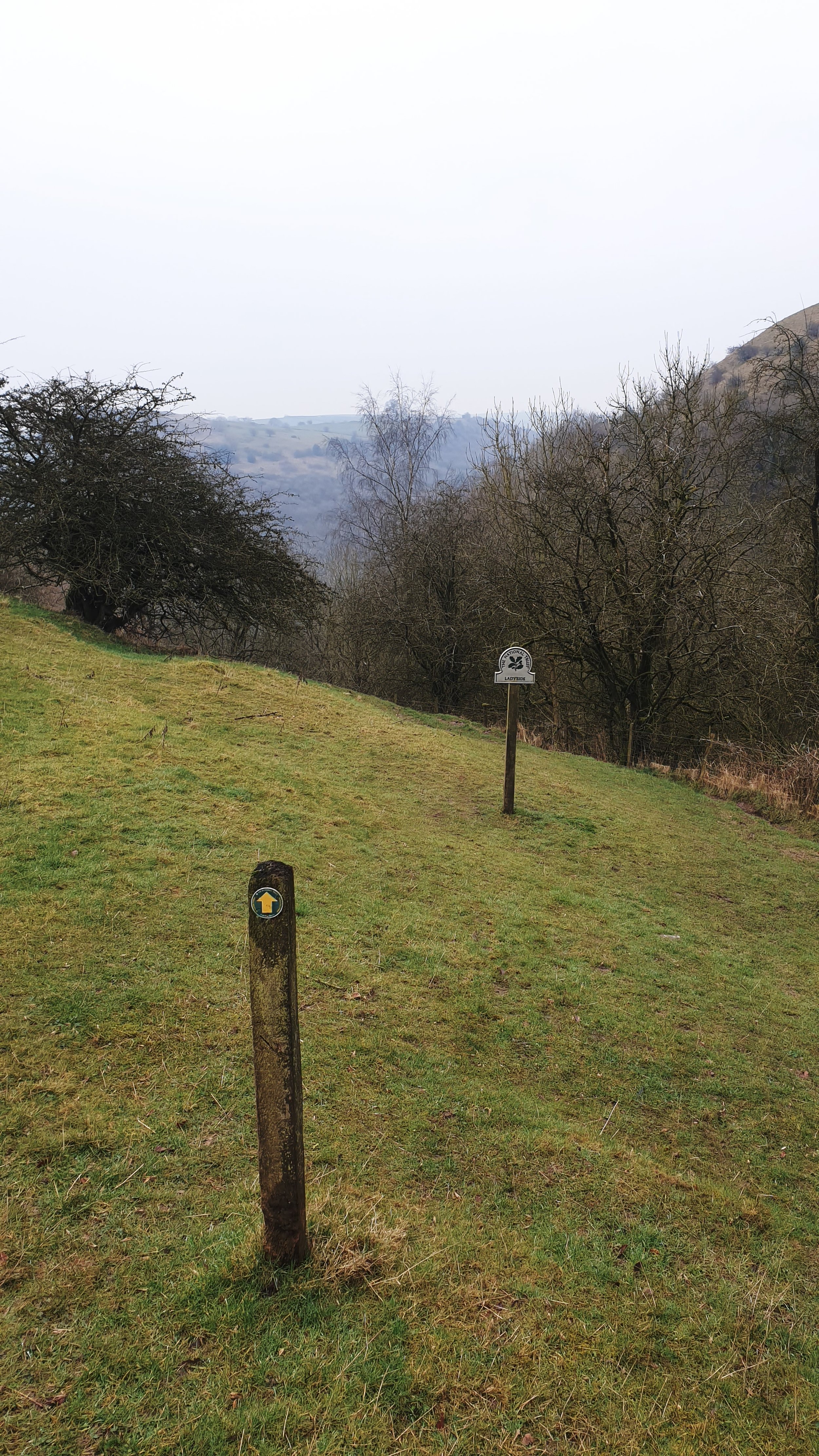
From here, it is a brief walk to the right before climbing the steep side of the valley, situated on the opposite side. Through this section, you will make your way through the trees along a narrow tree-lined path and up to the highest part of the valley. Once you reach the top, you will eventually enter an open field, which you will need to pass through and make your way to the signpost on the far side of the farmer's field. Here you will find a track that will take you up through the remaining area and onto the country lane that runs from left to right at the top of the field.
Once on the lane, you take a right and then walk down a few kilometres until you see the village in front of you. Calton is right there again, and you are now at the destination end by returning here, a loop of around 14km. The only downside to this otherwise fabulous walk is that there is no cafe stop on completion. There is nothing available in the village in Calton, so it is necessary to travel on and find something close by, to which there are many attractive propositions.

Part of the Packhorse route an ancient and well trodden route.

Through the gate and down into the valley. One of my favourite places on the Staffordshire Peak District border.
Map Of The Walking Route
Below is a map of the walk and the route which we took. You can click on it to see it in more detail.
Time to follow the footpath signposts and into the valley below.

Muddy trails outside the village of Calton.

An old bridge over a section of the river Manifold and then it is a walk up the other side.

Love this section of rugged path into the Manifold Valley far below.